


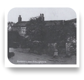
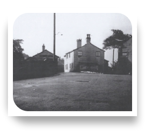
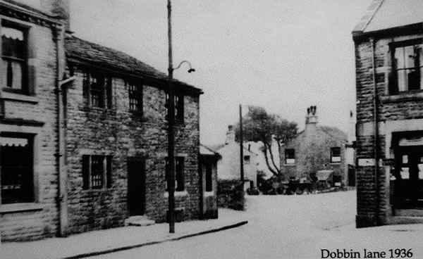
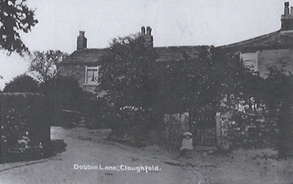
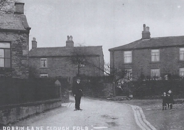
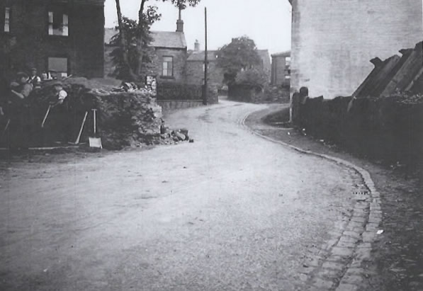
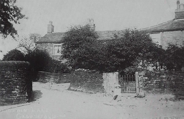
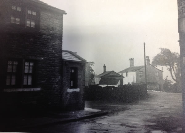
Dobbin Lane
before the road widening alterations of 1936.
-
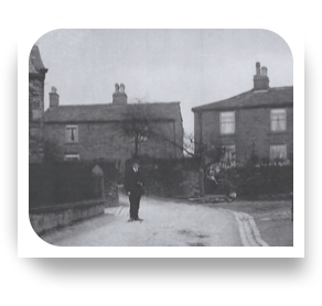
1928
-
1920s
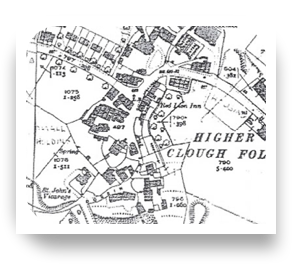
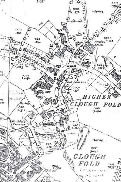
From "Once Upon Hard Times"' by John W Gillett. NB West is at the top!
-
1936
-
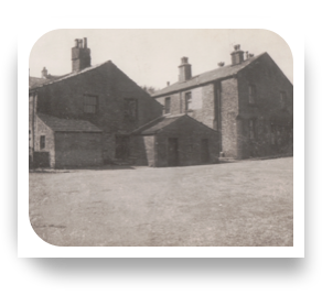
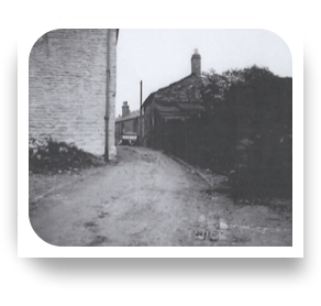
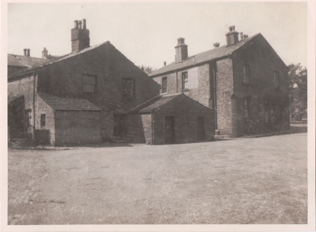
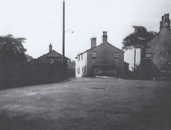
Dobbin Fold
-
Dobbin Fold
-
-
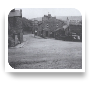
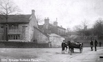
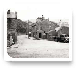
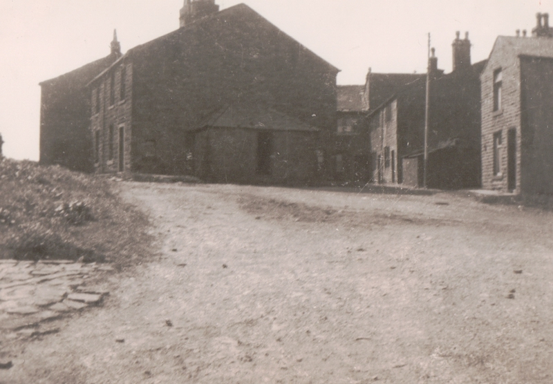
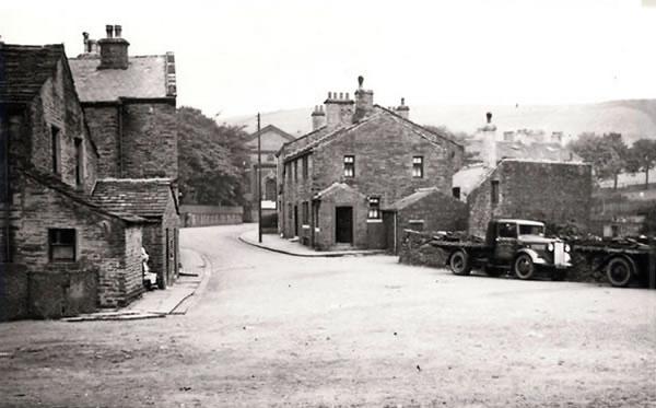
Seen from Patrick Square, also known as "The Green". The Green used to extend to Parrock Brook just off the right of this picture. The buildings on the right were demolished as far as the Red Lion.
-
-
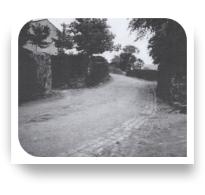
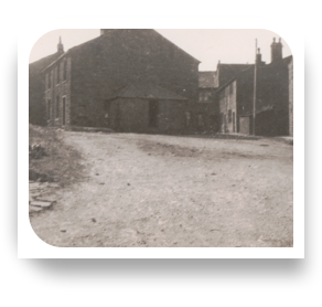
The walls were pulled down as part of the road widening.
-
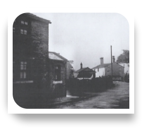
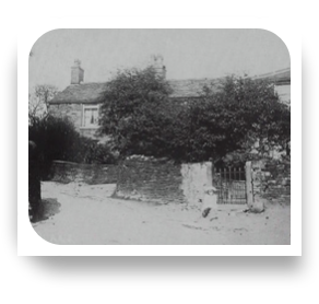
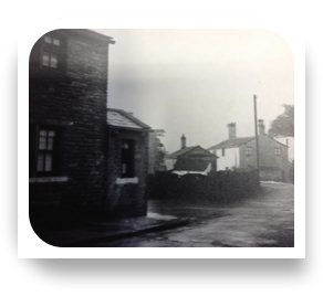
The two houses and the wall on the left were later demolished.
-
The building on the left is Plantation House, with stables behind. The barn on the right ajoins an old farmhouse, said to have been in the occupation of Alan Hargreaves in 1936. It is said that the wall between Plantation House and the vicarage to its left was the original pinfold wall, with a door for the cattle.
-
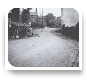
The building on the left was said to have been a slaughterhouse. It was demolished, together with the wall on the left.
-
The building on the right was said to have been a slaughterhouse in the 18802, then a tripe-dresser and chip shop. It was demolished.
-
-
-
-
Geenhill
