


This, together with ‘the lane’ passing north from Newchurch Road to the west of Springhill is the subject of the natural history blog.
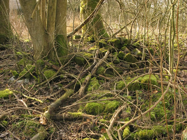
Once a meadow, ariel photographs show that it has wooded over the last 70 or so years. After its use as a paddock it was used as allottments and some remnants of this activity remain. There are also some more modern artefacts present.
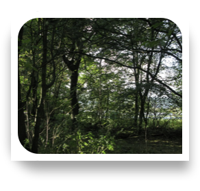
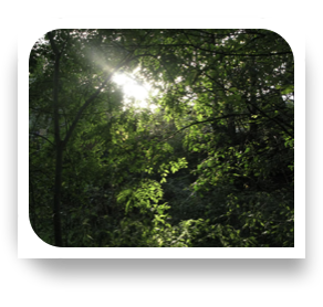
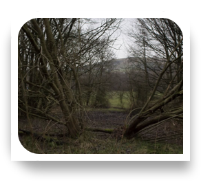
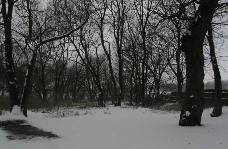
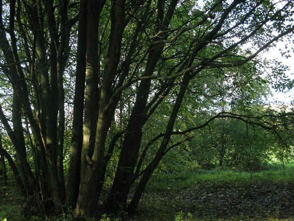
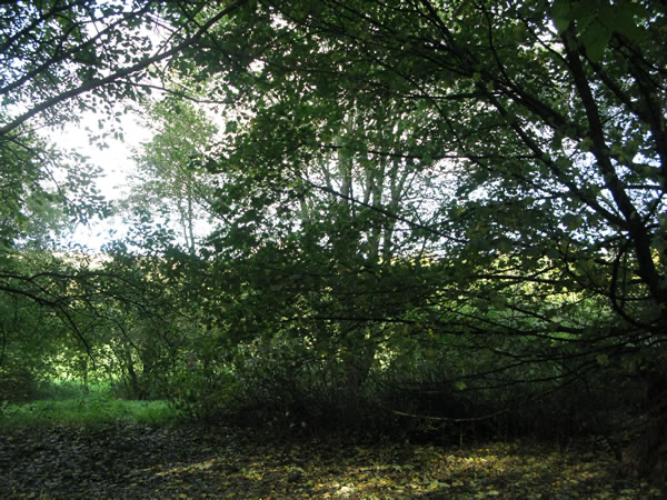
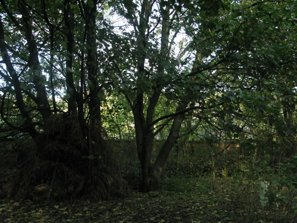
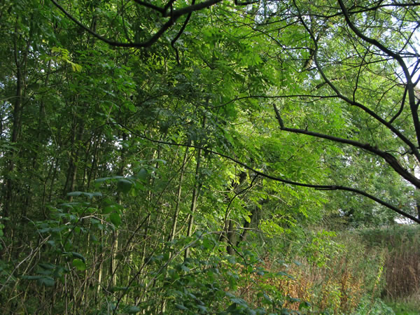
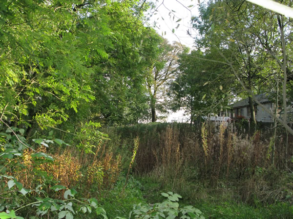
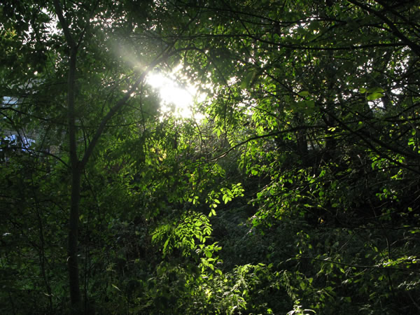
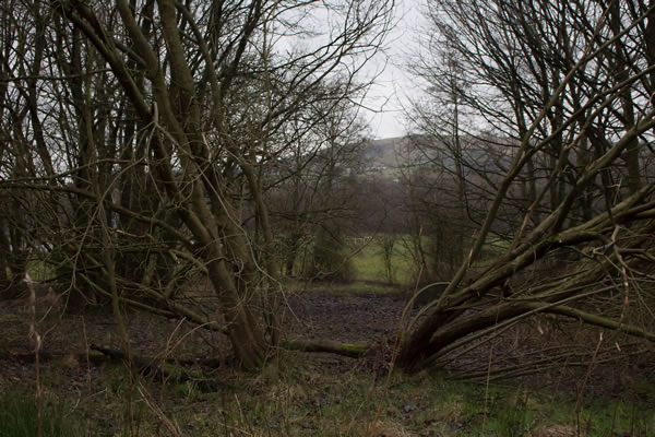
The first three pictures show the view into the field from the lane, then a 360 around a large ash in the middle, interior and exterior views from the west boundary then pictures of some of the artefacts. Natural history pictures are on the blog. The panorama starts at the south west corner by Mayfield and goes clockwise (N-E-S). Compass directions are approximate.
-
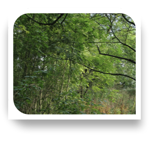
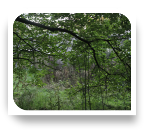
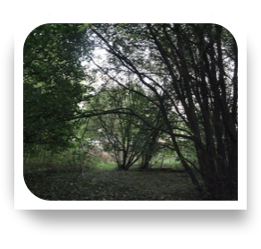
field
-
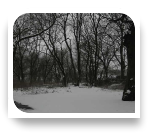
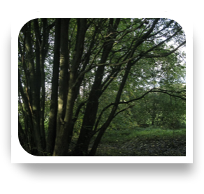
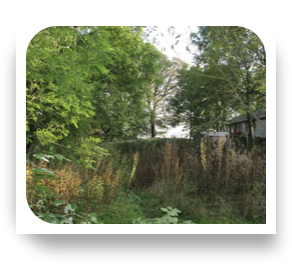
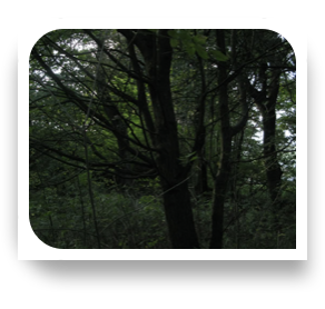
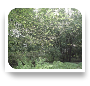
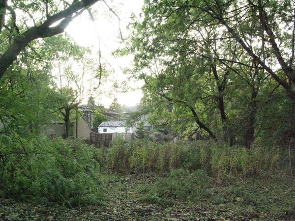
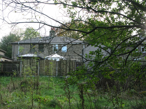
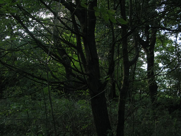
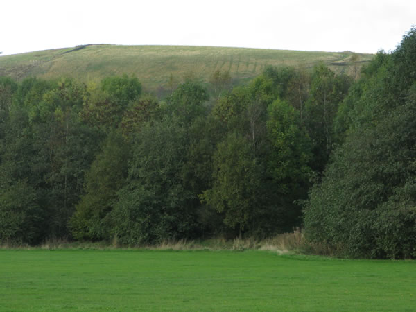
from east
-
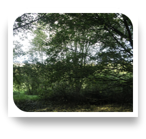
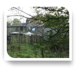
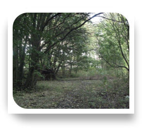
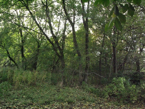
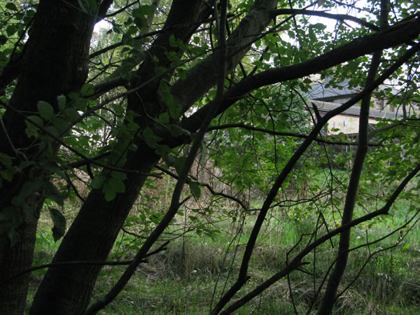
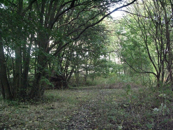
from north east
-
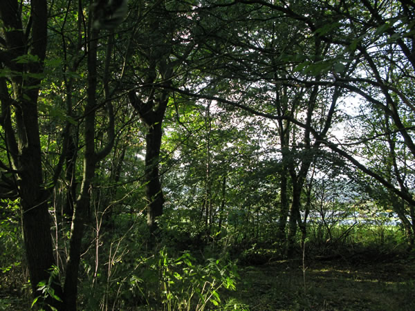
panorama 1
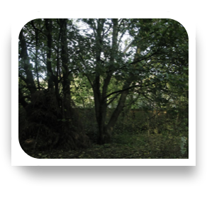
SW from the ground willow (now fallen)
-
panorama 2
W
-
panorama 3
NW
-
panorama 4
N
-
panorama 5
NE
-
panorama 6
E
-
panorama 7
SE
-
panorama 8
SE
-
panorama 9
S
-
panorama 10
S
-
panorama 11
SW
-
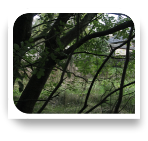
from south west
-
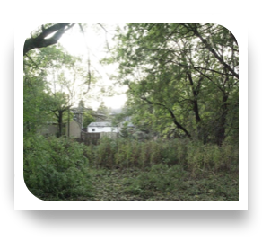
from west
-
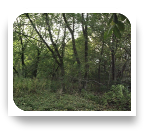
from north west
-
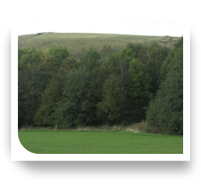
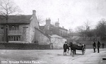
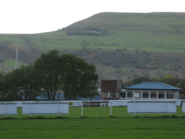
Chapel Hill
north west of field
-
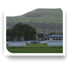
Marl Pits
west of field
-
Field pics 2014 440
-
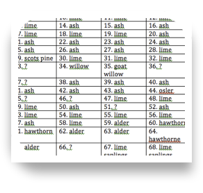
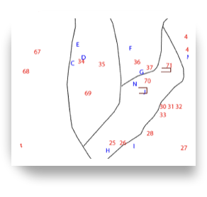
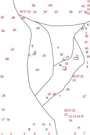
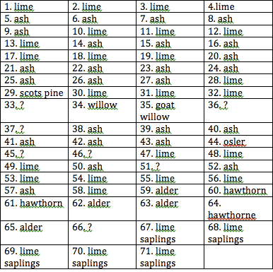
field trees key
-
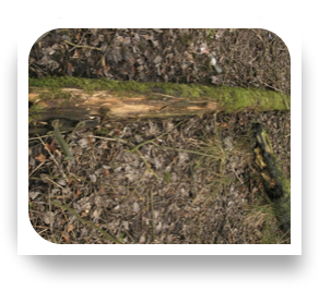
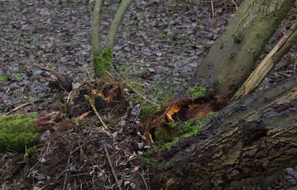
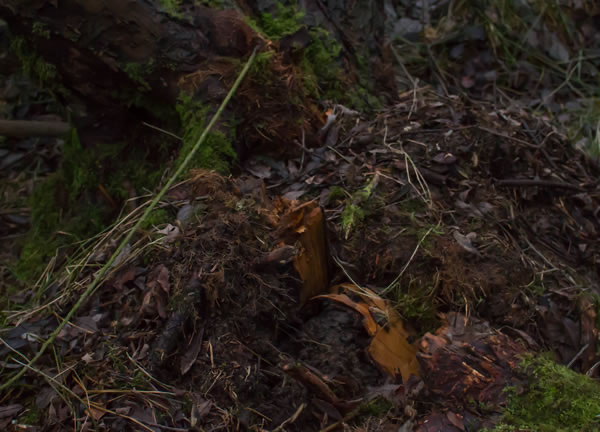
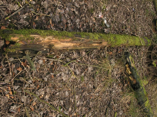
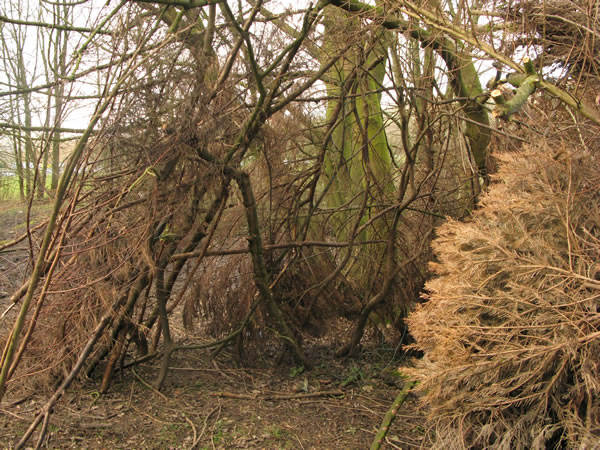
34 fallen ground willow
after the January 2014 storms.
-
fallen ground willow
-
fallen ground willow
-
A concrete post
east border
-
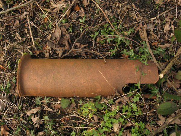
B chimney
east border
-
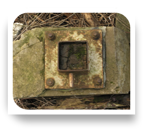
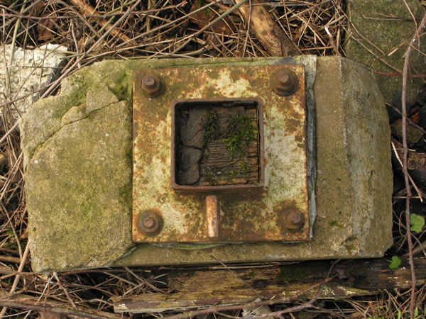
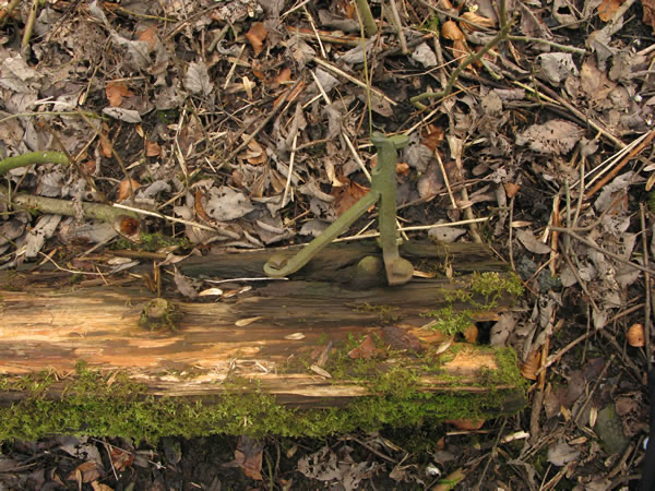
C bracket
near fallen ground willow
-
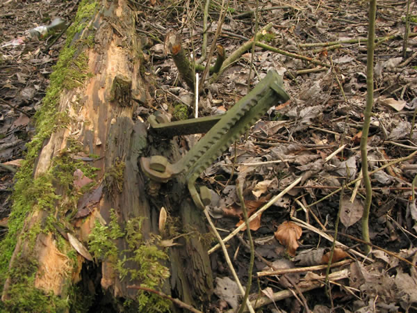
C bracket detail
-
C pole
-
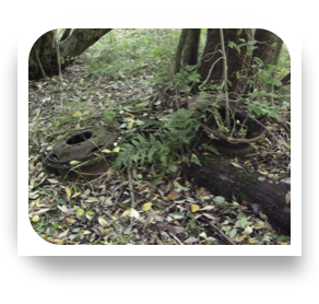
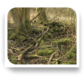
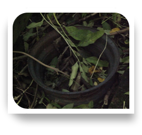
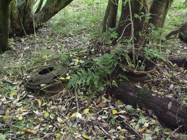
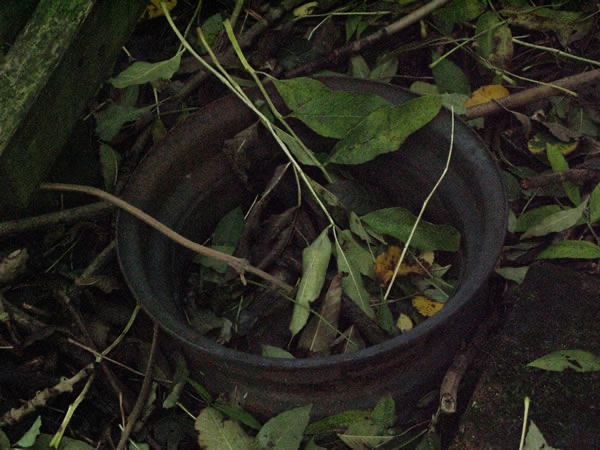
C pots
by fallen grond willow tree in centre of field
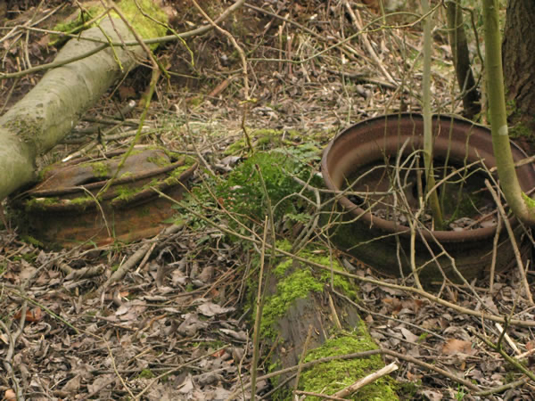
-
C pots
-
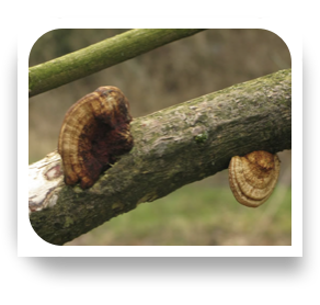
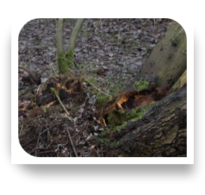
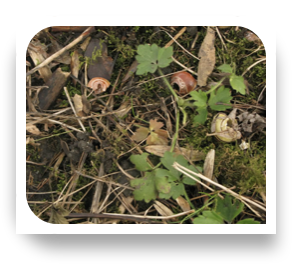
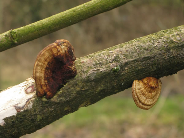
D fungi
Turkey tail
-
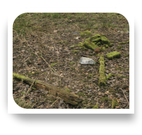
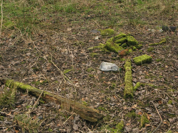
E wood bricks
near fallen ground willow
-
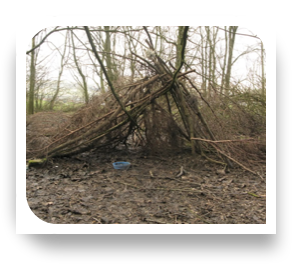
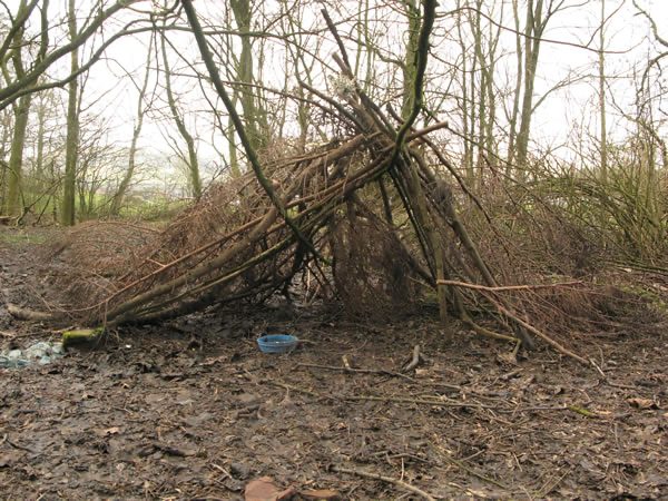
F small wigwam
amid bricks from old allottment
-
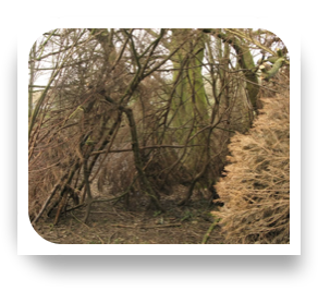
G large wigwam
-
H bricks
east side field
-
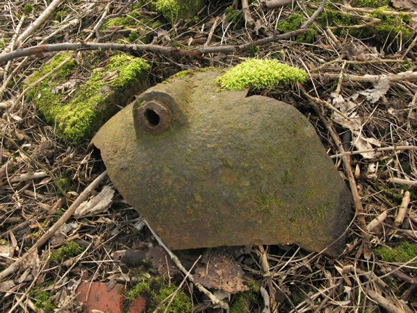
I anvil stone
east side field
-
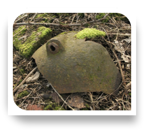
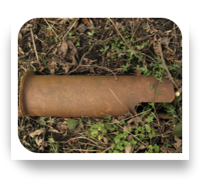
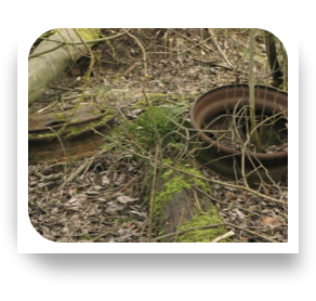
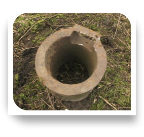
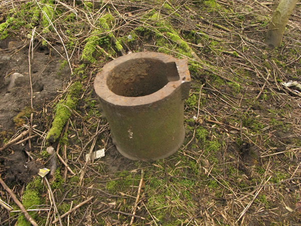
J pot
-
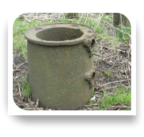
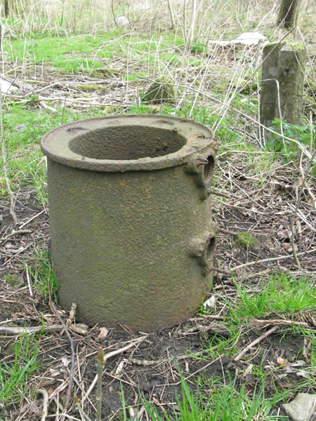
K pot
near west wall Springhill Cottage
-
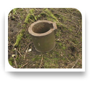
K pot
-
K pot
by SW corner Springhill Cottage fence
-
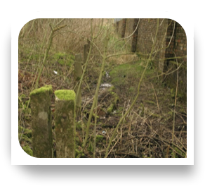
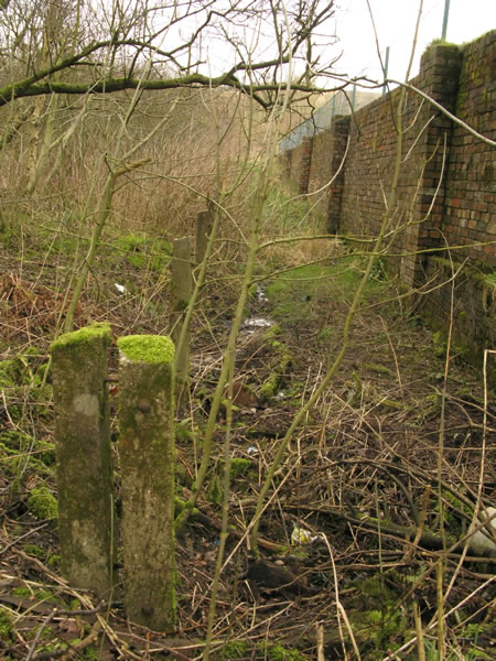
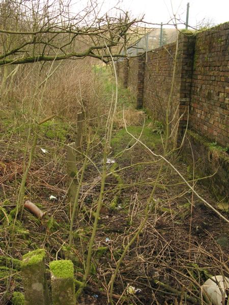
L old boundary
west of current Springhill Cottage boundary
-
L old boundary
-
M pot
by fence, Springhill Cottage
-
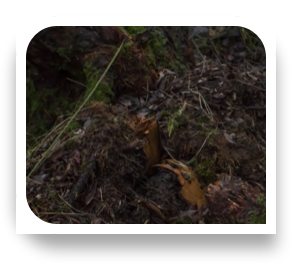
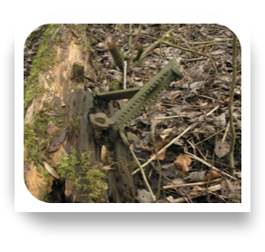
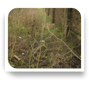
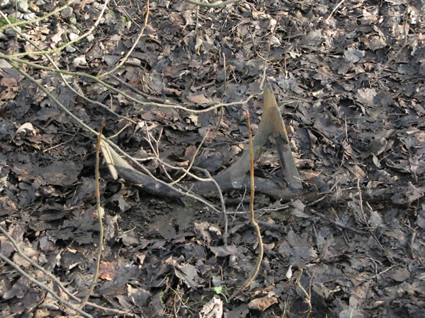
N implement
by old allottment bricks
-
N implement detail
-
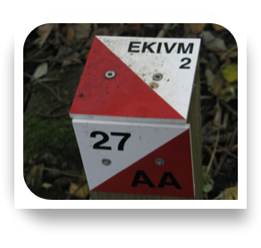
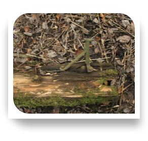
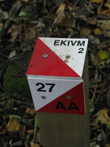
orienteering post
Out of respect for the course organisers I'm not saying exactly where this is, only that it isn't the only one in there.
